See It In Action
Watch the full walkthrough of everything below
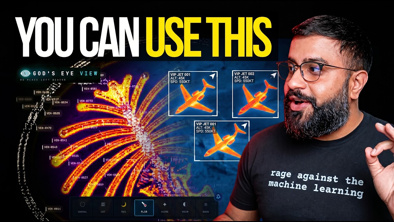
A spy-satellite simulator in your browser — then you realize the sources are public and the data is real.
Ride inside a tracked flight — the camera holds the terrain under you all the way down.
A 250 km roster of everything near your target — step through live aircraft and drop into any cockpit.
Camera locks on, draws a fading trail, surfaces full metadata — and tracked hands off to nearest live camera.
Speak annotations onto the world — real boundary polygons, marks, and routes.
GLSL sensor looks over the normal globe — CRT, NVG, FLIR/thermal, Noir, Snow.
Tactical heads-up display with intelligence-style telemetry.
Watch the full walkthrough of everything below
Start without an account or API keys. Both paths open the same app with Esri satellite imagery and keyless terrain.
Install or update Pinokio to 8.2 or later, then open God's Eye View in Pinokio.
Use Node.js 24.x (24.14.0 or later) or 26.x.
git clone https://github.com/bilawalsidhu/gods-eye-view.git
cd gods-eye-view
npm ci
npm run doctor
npm run dev
Open http://localhost:4173
Thirteen layers and map sources. Eleven have a keyless path.
| Layer | What you get | Auth |
|---|---|---|
| 🗺️ Map Stack | Esri satellite imagery, Google Photorealistic 3D, OSM | 🟢 Esri + OSM |
| ✈️ Live Flights | 11,000+ live aircraft + route history | 🟢 Free |
| 🎖️ Military Flights | ADSB military traffic in amber | 🟢 Free |
| 🚢 Live Vessels | Thousands of ships worldwide | 🟡 Free key |
| 🛰️ Satellites | 838-object catalog, color-coded by class | 🟢 Free |
| 🌍 Earthquakes | Global seismic activity, last 24h | 🟢 Free |
| 📹 CCTV Mesh | ~800 public cameras projected into 3D space | 🟢 Free |
| 📻 Radio | Geolocated world radio with analog tuner | 🟢 Free |
| 🚀 Space Missions | Rolling 30-day launches with payload details | 🟢 Free |